How Texas Uses Local Weather Data to Plan for Water

Table of Contents
Share Article
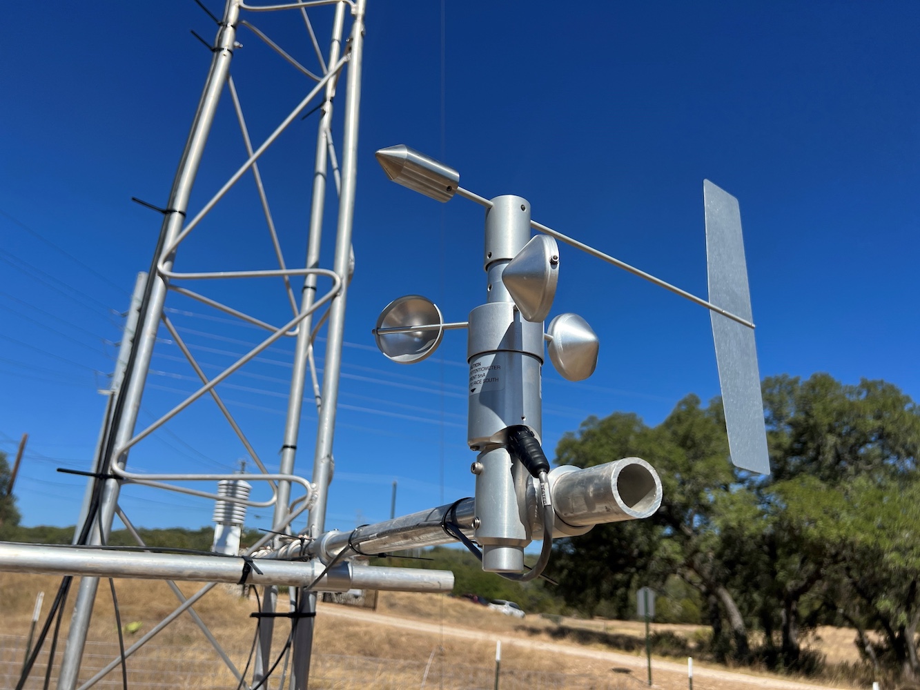
TexMesonet is a statewide system of weather and soil monitoring stations, collecting real-time data on everything from rainfall and temperature to wind and soil moisture.
While some Texans may be unfamiliar with TexMesonet, the network’s data plays a critical role in how water is managed across the state. Information from TexMesonet helps water planners, community leaders, firefighters, and ranchers and farmers evaluate how water moves through the environment—from rainfall to runoff and ultimately into rivers and aquifers.
TexMesonet by the numbers
TexMesonet includes more than 100 stations maintained by the Texas Water Development Board (TWDB), supplemented by data from over 3,000 partner network stations statewide.
Filling Data Gaps Across Texas
The TWDB also incorporates data from partners, such as flood stage and stream gages, to help everyday Texans know what’s going on in their area.
As the network expands, it is helping bridge data gaps across rural and urban areas, giving communities more precise, localized insight into weather and soil conditions.
The TWDB is working to grow the network so that Texans across the state can have access to high-quality weather data.
Studying the Hydrologic Cycle in Central Texas
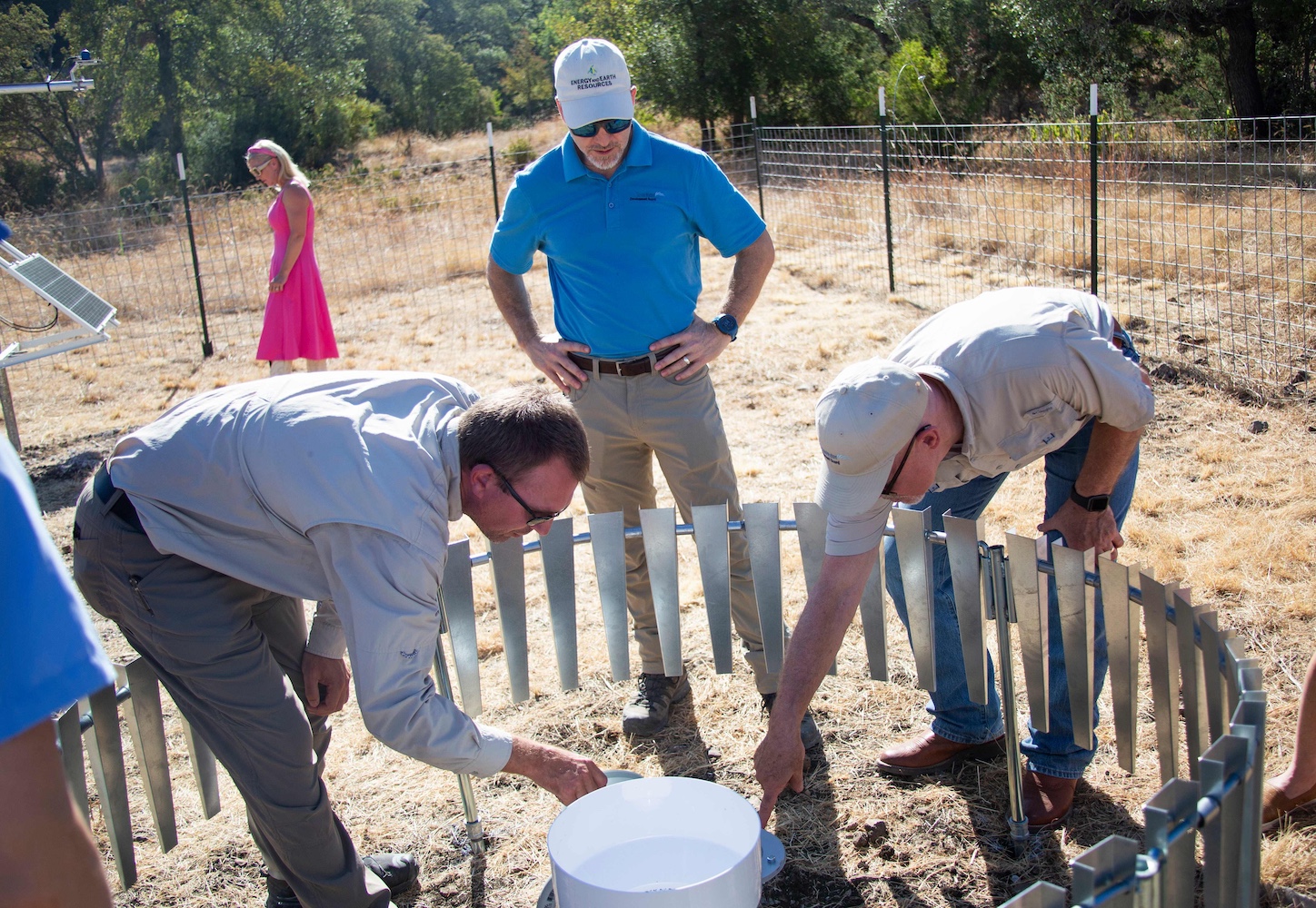
At a newer station in northern Bexar County, located at the Edwards Aquifer Authority Field Research Park, researchers are using TexMesonet data to better understand how meteorological conditions in the area are affecting water resources.
“We have a unique opportunity to collect long-term data…to help us better understand the hydrologic cycle in this part of Texas,” said Bryan Anderson, Director of Data Management at the Edwards Aquifer Authority.
That work goes beyond tracking how much rain falls. The Edwards Aquifer Authority is also tracking how factors like heat and sunlight affect water evaporation from reservoirs and how rainfall soaks into or is lost from the ground—key pieces of how water is lost or stored across the state.
“Having longer trend data is vital.”
Together, this network of stations is helping build a more complete picture of water conditions across Texas that is equipping communities, farmers, and water managers with the information they need to plan for the future.