Region B: Red River
Texas is divided into 16 water planning regions. The 16 regions were created by looking at shared water sources, community boundaries, public input, and other factors. Here we highlight Region B bordering the Red River in North Texas. Anchored by Wichita Falls, this region draws its water from a variety of river basins, aquifers, and reservoirs to support its agriculture, small cities, and power generation.
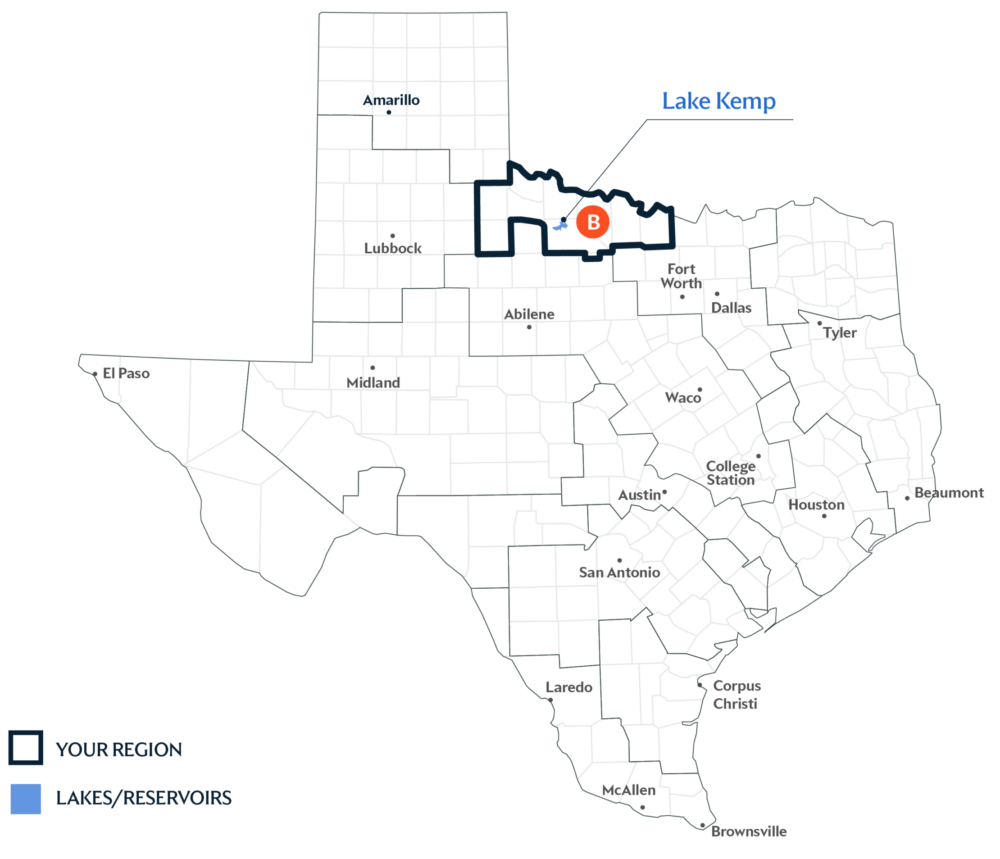
Primary Water Source: Lake Kemp
This region’s water supply is almost equally split between surface water (rivers and reservoirs) and groundwater (aquifers). One of the largest surface water sources is the Kemp-Diversion Lake/Reservoir System, located within the Red River Basin.
Key issues and approaches for Region B
Considerations on irrigation demand, drought impacts on groundwater and reservoirs, and long-term water quality shapes planning in the area. The region’s water plan—updated every five years and projected through 2080—includes agricultural and municipal conservation, groundwater well expansion, and indirect reuse to strengthen future supplies.
Dive deeper into the Interactive 2027 State Water Plan and learn more about Region B.