Region H: Gulf Coast
Texas is divided into 16 water planning regions. The 16 regions were created by looking at shared water sources, community boundaries, public input, and other factors. Here we highlight Region H on the Gulf Coast. Anchored by Houston, one of the largest cities in the country, this region gets most of its water from surface water sources and relies on critical water infrastructure.
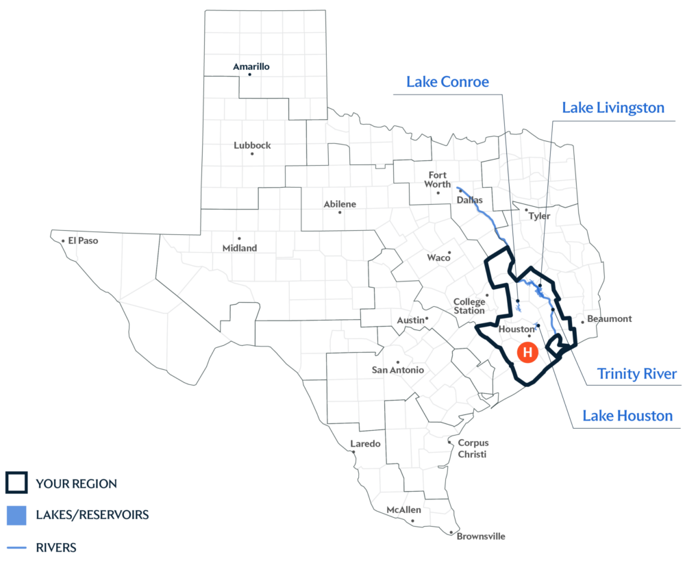
Primary Water Source: Multiple Lakes
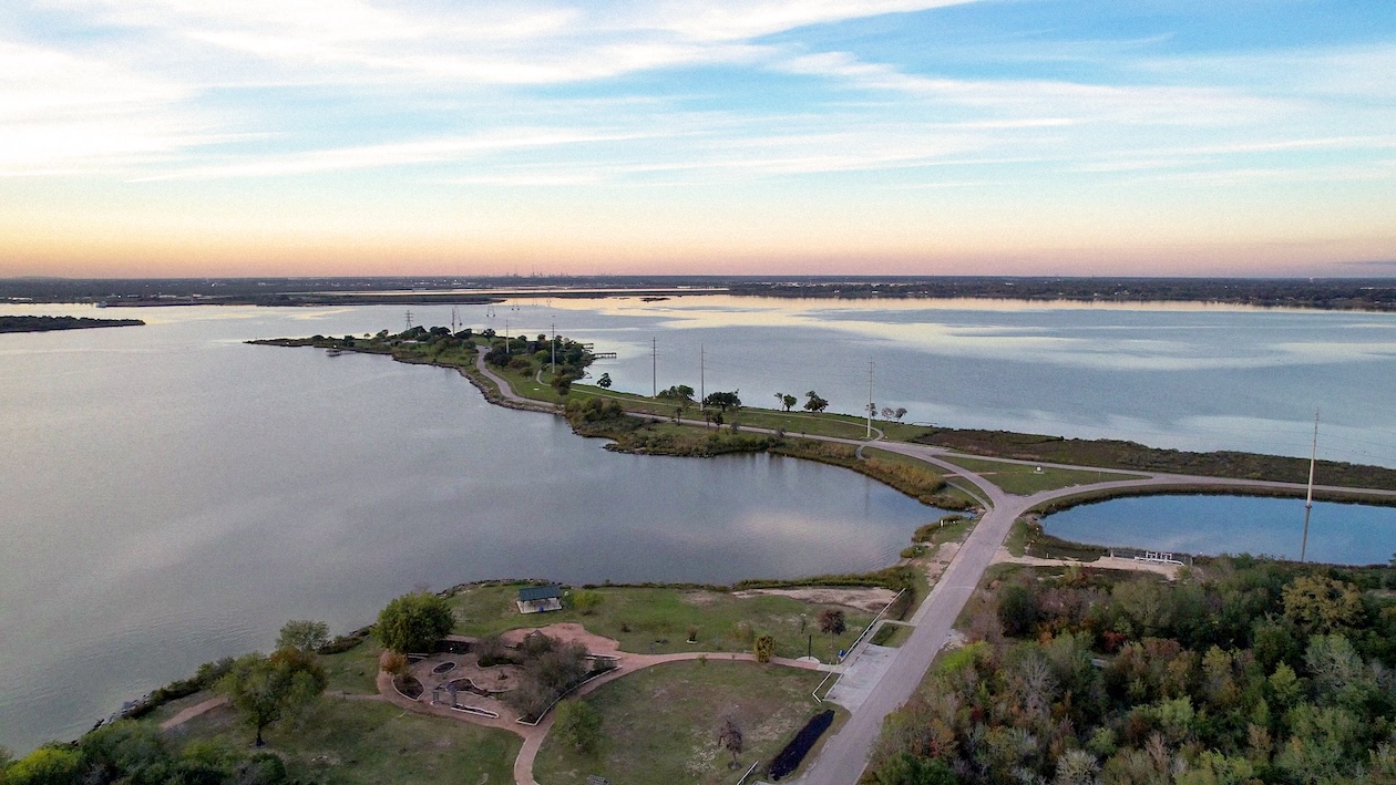
Nearly 70 percent of the water in this region comes from surface water sources that include Lake Livingston, Lake Conroe, and Lake Houston. The largest source, Lake Livingston, is also fed by the Trinity River—the same river basin that provides water to the City of Dallas.
Key issues and approaches for Region H
Population growth, expanding infrastructure, flood management, and subsidence (when land sinks if too much groundwater is removed) continue to shape water supply planning across the Gulf Coast region. The regional water plan—updated every five years and projected through 2080—includes surface water development, agricultural conservation, indirect reuse, and reservoir expansion to strengthen future supplies.
Dive deeper into the Interactive 202 State Water Plan and learn more about Region H.