Region K: Lower Colorado
Texas is divided into 16 water planning regions. The 16 regions were created by looking at shared water sources, community boundaries, public input, and other factors. Here we highlight Region K. Stretching from the Hill Country to the Gulf Coast, this region draws most of its water from surface water sources where rapid population growth and expanding municipal demand continue to guide water supply planning.
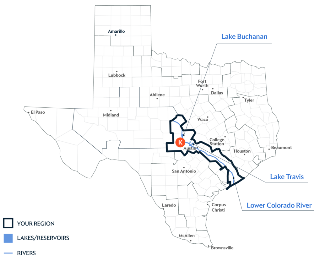
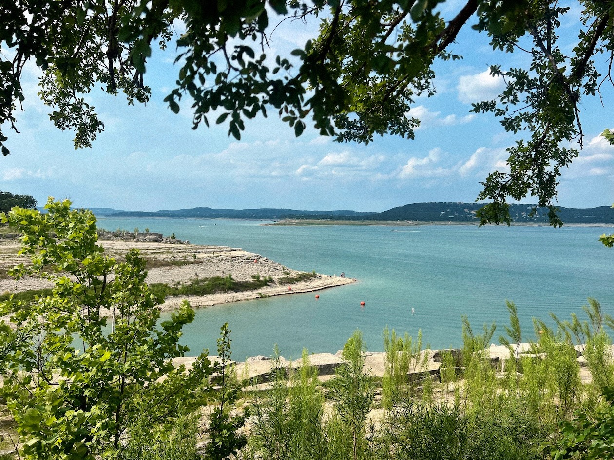
Primary Water Source: Highland Lakes System
Roughly 70 percent of this region’s water comes from surface water sources. Many of these sources are fed by the Lower Colorado River Basin, such as the Highland Lakes—which is a chain of six reservoirs—including Lake Buchanan and Lake Travis.
Key issues and approaches for Region K
Rapid growth, agricultural irrigation, and reliance on the Colorado River Basin continue to impact long-term water supplies. The regional water plan—updated every five years and projected through 2080—highlights municipal conservation, drought management, agricultural conservation, and groundwater well expansion to help meet future needs.
Dive deeper into the Interactive 2027 State Water Plan and learn more about Region K.