
Region C: North Central Texas
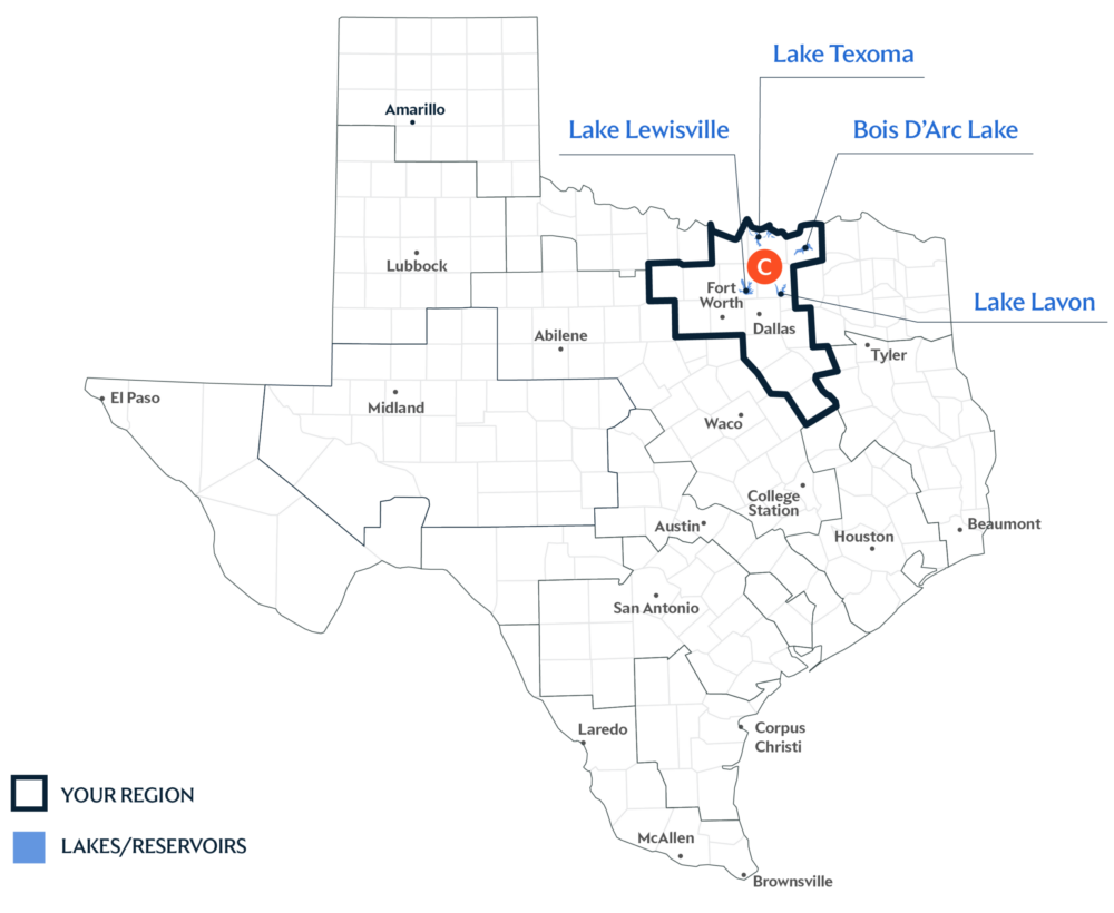
Texas is divided into 16 water planning regions. The 16 regions were created by looking at shared water sources, community boundaries, public input, and other factors. Here we highlight Region C in North Central Texas. Home to the state’s largest metro area, this region relies on reservoir storage and cooperation with other regions to import surface water to meet its rapidly growing water demands.
A Primary Water Source: Multiple Lakes
Texans living in this region get 90 percent of their water from surface water sources. Most of that water comes from a vast network of lakes located within and outside of the region—including Bois d’Arc Lake, Lake Lavon, Lake Lewisville, and Lake Texoma.
Key issues and approaches for Region C
Rapid growth, dependence on reservoir storage, and regional infrastructure coordination continue to shape long-term water planning in the area. The regional water plan—updated every five years and projected through 2080—highlights municipal conservation, indirect reuse, and developing additional surface water supplies to help meet future needs.
Dive deeper into the Interactive 2027 State Water Plan and learn more about Region C. If you have any questions about your Region’s information please email [email protected].