Region M: Rio Grande
Texas is divided into 16 water planning regions. The 16 regions were created by looking at shared water sources, community boundaries, public input, and other factors. Here we highlight Region M in South Texas. This border region along the Rio Grande relies on that shared river system between the U.S. and Mexico for its drinking water, agricultural production, and cultural identity.
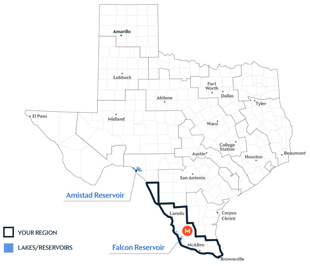
Primary Water Source: Rio Grande
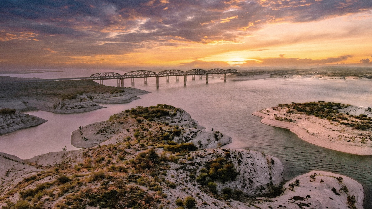
The international reservoirs in this region are fed by the Rio Grande, Devils, and Pecos rivers. Region M primarily relies on the Rio Grande through the shared Amistad–Falcon Reservoir System, jointly managed by the International Boundary and Water Commission for flood control, water conservation, recreation, and power generation.
Key issues and approaches for Region M
Agricultural irrigation, growing municipal demand, and reliance on the Rio Grande, which is affected by drought and shared internationally, continue to shape long-term planning efforts. The regional water plan—updated every five years and projected through 2080—highlights groundwater desalination, as well as agricultural and municipal conservation, to help improve supply reliability.
Dive deeper into the Interactive 2027 State Water Plan and learn more about Region M.